We understand space through narrative. Today, social media platforms like twitter allow large communities access to personal narratives. This phenomena results in fragmented and ever-evolving collective perceptions about place.
Spatial proximity can now be almost the same as proximity in time. Sites and events that once needed to be physically attended to be experienced can be experienced in real time virtually.
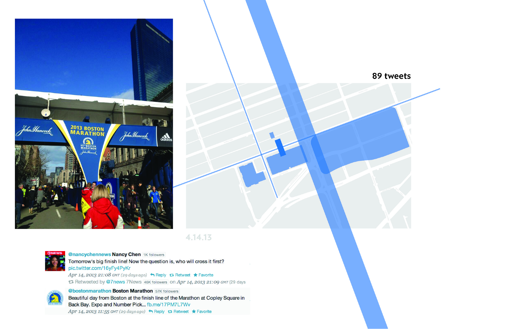
While formulating this research agenda, I considered analyzing the Boston Marathon as a case study. Following the bombings, I decided to continue with the investigation - analyzing the relationship between the events of April 15th and the site itself. I was particularly interested in how events shapes perception of space. The Boston Marathon, as an event in itself, influences the way that attendees view the city. Specifically, the use of roads and the threshold of the finish line - which is a permanent fixture in the city. The bombings undoubtably had a tremendous effect on not only those who attended and participated in the marathon, but also people across the world. The role of social media and it's relationship to both the bombing as an event and the site surrounding the finish line became the driving force of this investigation.
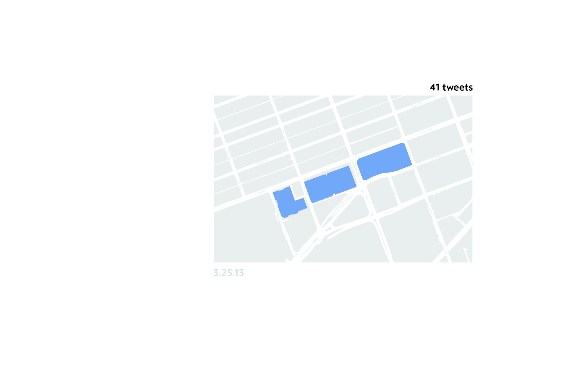
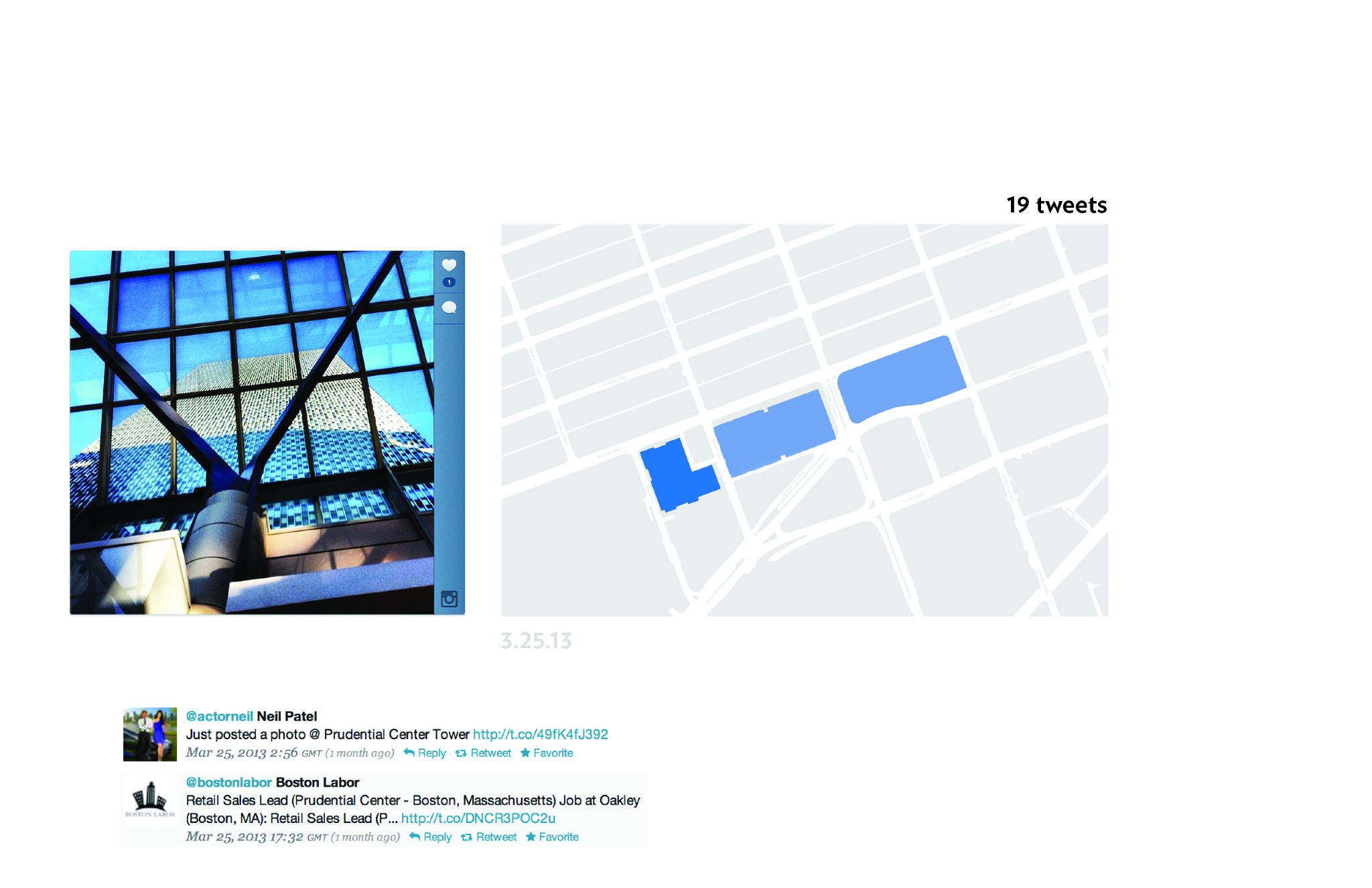
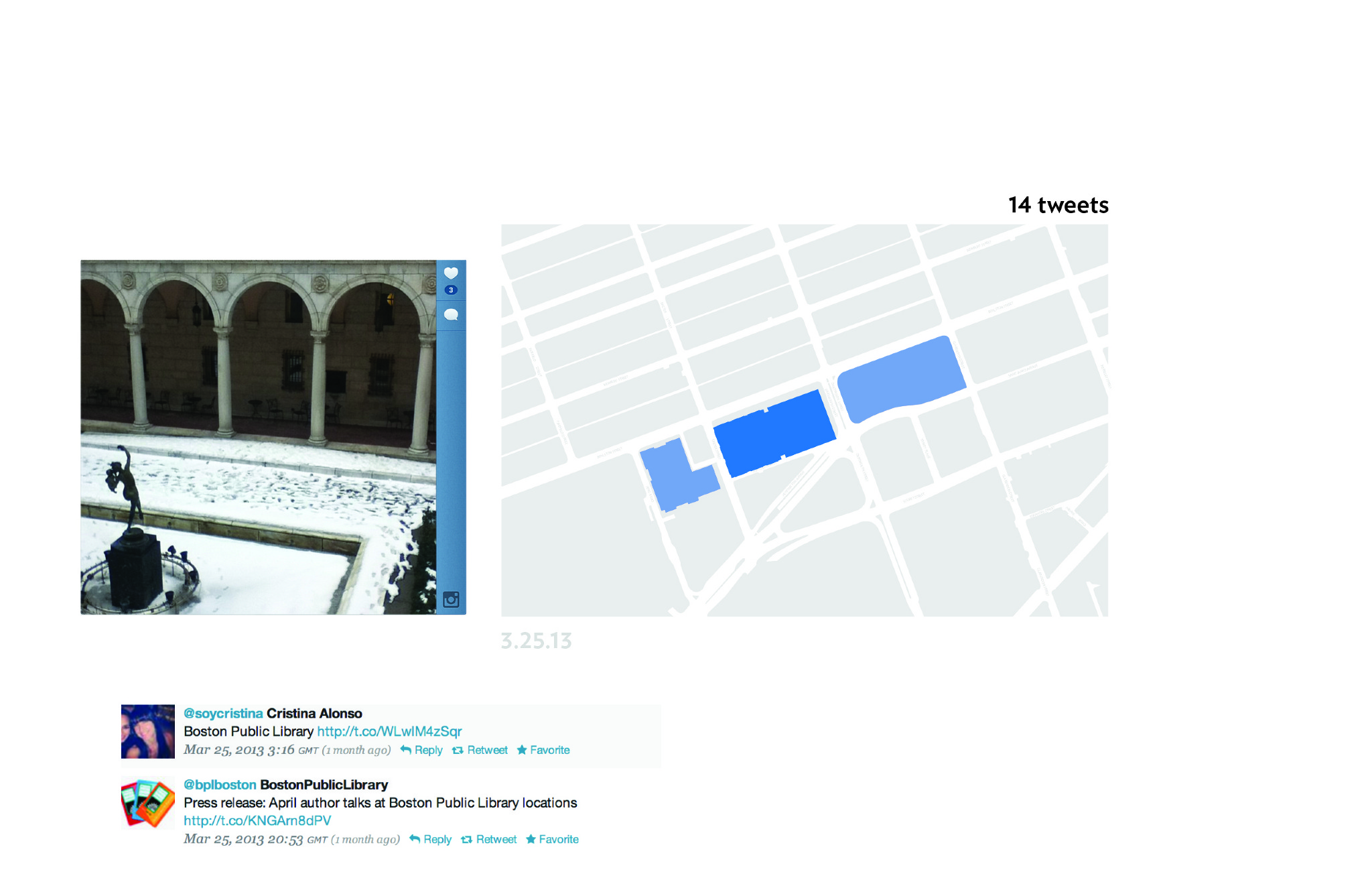
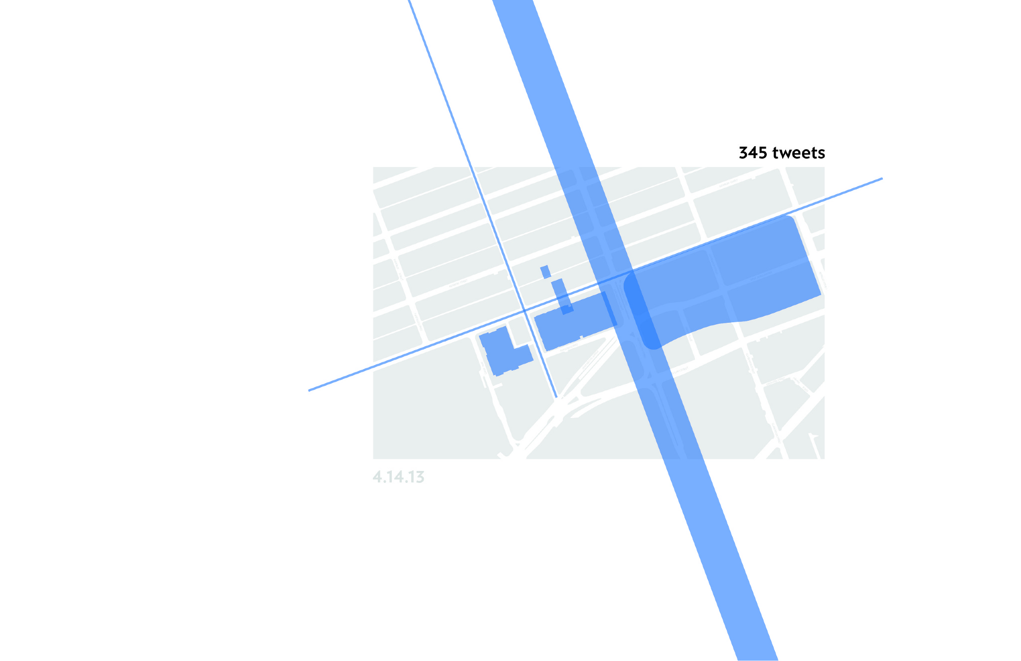
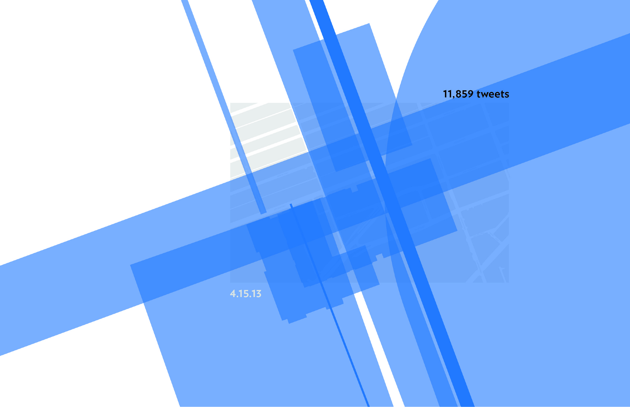
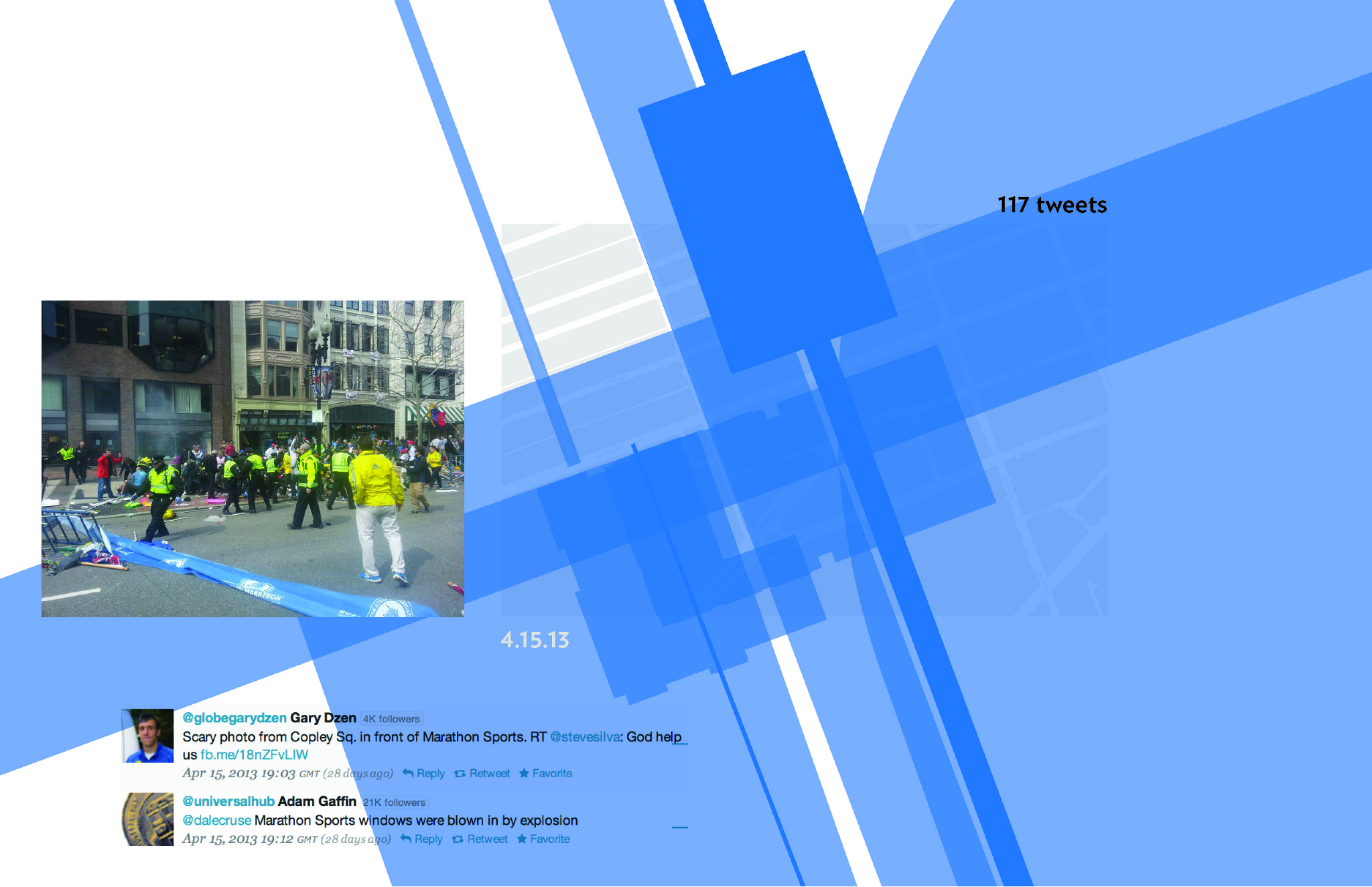
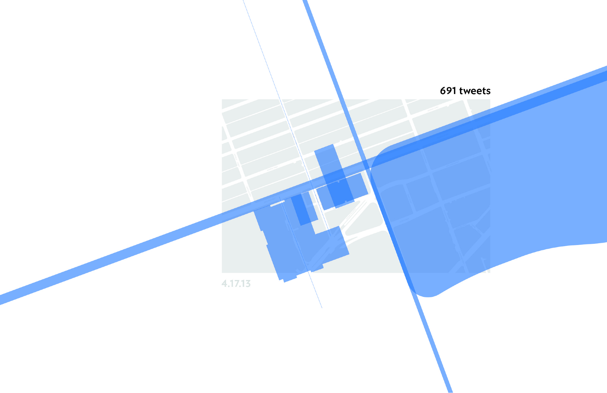
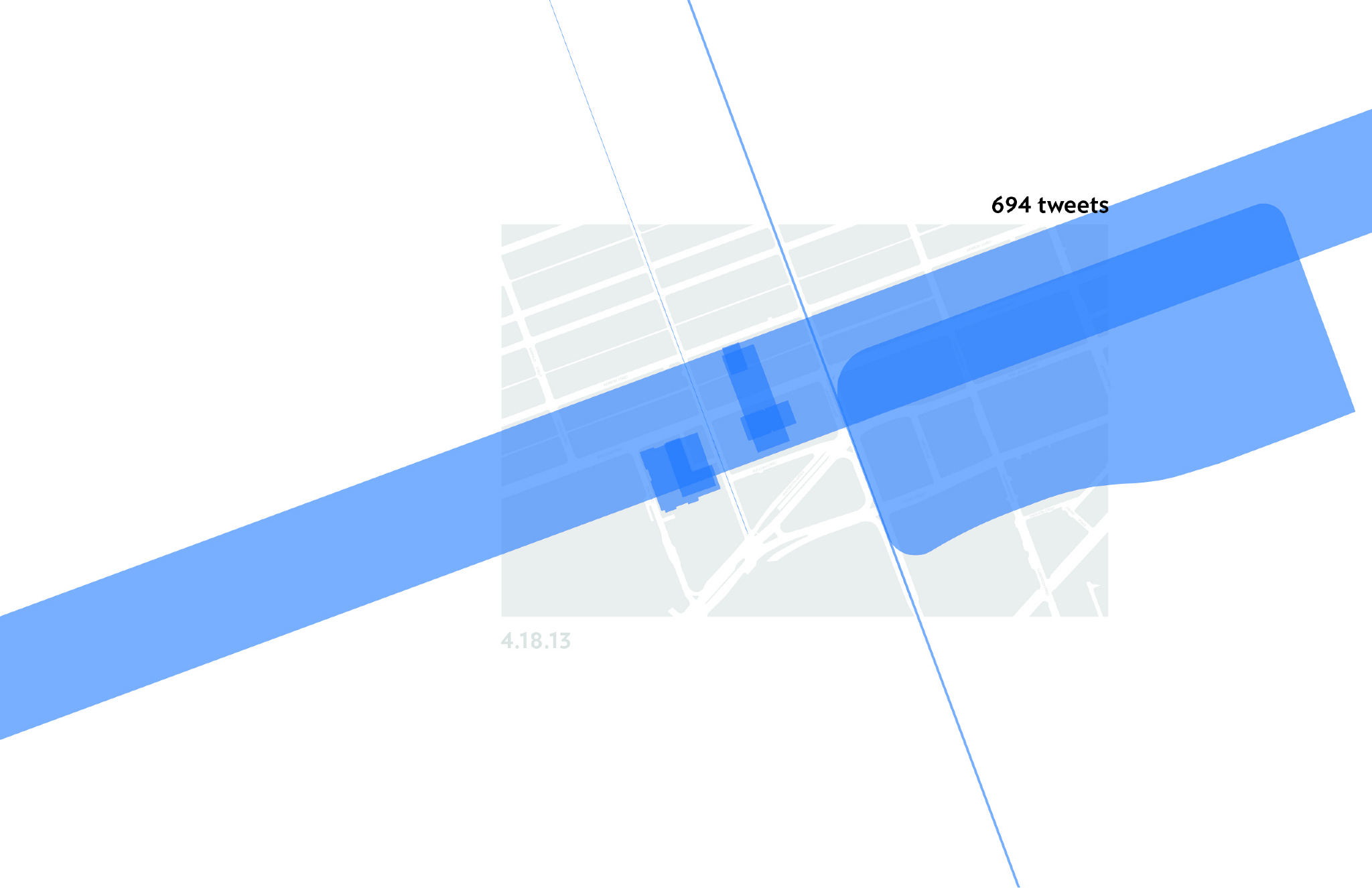
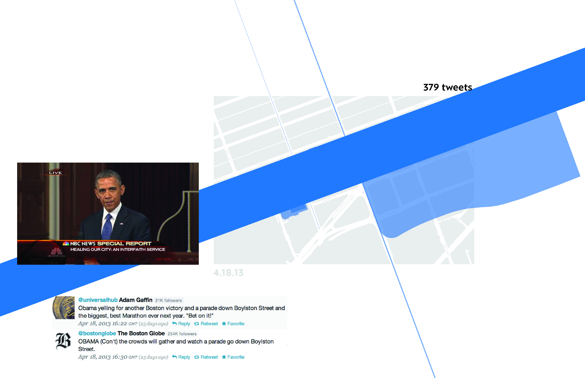
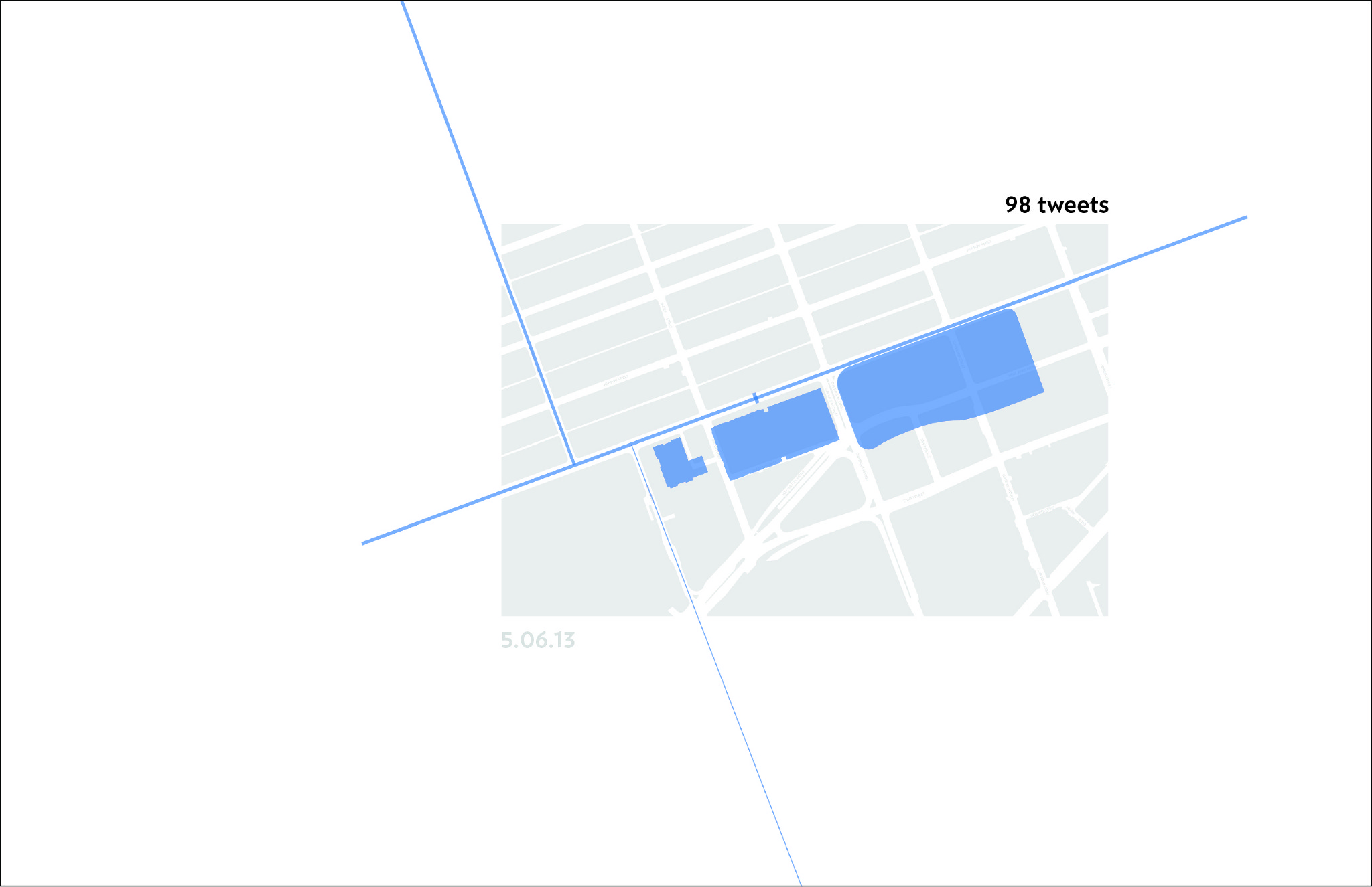
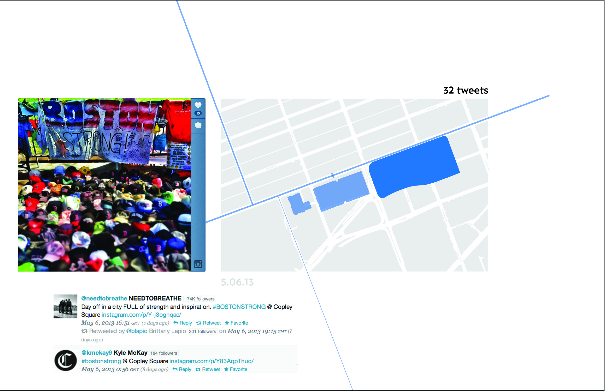
The current stage of this project focuses specifically on visualizing tweets that refer to spatial landmarks at the site of the finish line. The following animation breaks the site into spatial landmarks (buildings, roads, and the finish line) and scales each element individually to reflect the number of times each respective landmark was referred to in tweets on specific days.
visualizing tweets spatially from adm37 on Vimeo.
It was clear before creating the animation that the number of tweets would increase drastically on the date of the bombing. However, the specific spatial breakdown of those tweets was unexpected. The result of this case study not only directly relates to specific events that occur on site, but also the general perspective of landmarks within the site. Specifically small roads that perhaps lacked a collective narrative.


The project can evolve in a range of ways. The extent and influence of unexpected events is a topic that I am personally interested in. Therefore, potentially extending this form of analysis to a range of large-scale events, ranging from hurricane Sandy to some of the work of Artichoke or Red Moon Theatre, would be interesting. This method of documenting could also be employed on a large city scale. I'm looking forward to pushing the project further.